Flight Briefing Links


Official Briefings: FltPlan, ForeFlight Official Sites: eAPIS


Weather
Flight Planning
Aviation Weather Center, NCAR RAL,    Canada
Current Obs, PIREPS, Icing, JavaPathTool
Winds Text: NE PC RM NC SC SE AK HI WP
ME/TAF
 METARs    TAFs

LAMP graph
RVR Monitor
Graphical: Winds, Icing, FrzLvl, Prog 00, 06, 12, 18
Wind Forecast: Windy

Sigmet
Java

All at a glance
G-Airmet
Graphical
National Weather Service, Pivotal Weather
Unisys data/models: SfcAnl
GFS Avn Skew-T

TFRs: Map, List; SUA: Map
NOTAMs: Published, PilotWeb, FNS NOTAM Search, DINS, Canada

Terminal Procs/Diag: NACO, AOPA
NFDC Preferred Routes

AirNav GC Map
FlightAware

Skyvector Chart:

Airport Lookup:

METAR history

Weight/Balance

Oceanic/Offshore: FAA OPS , NAT Tracks
FAA PlayBook
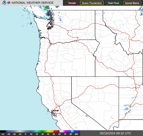
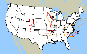
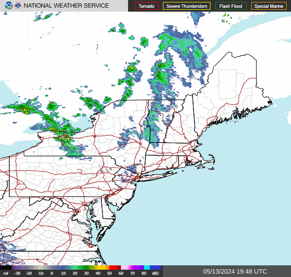
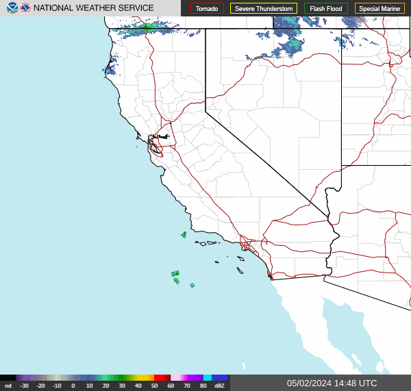
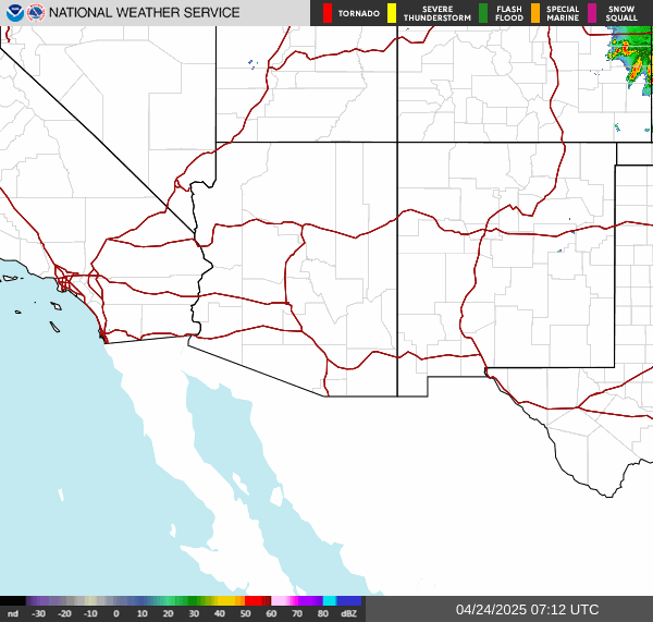
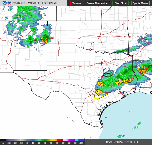
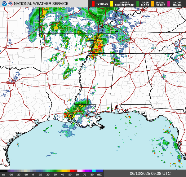
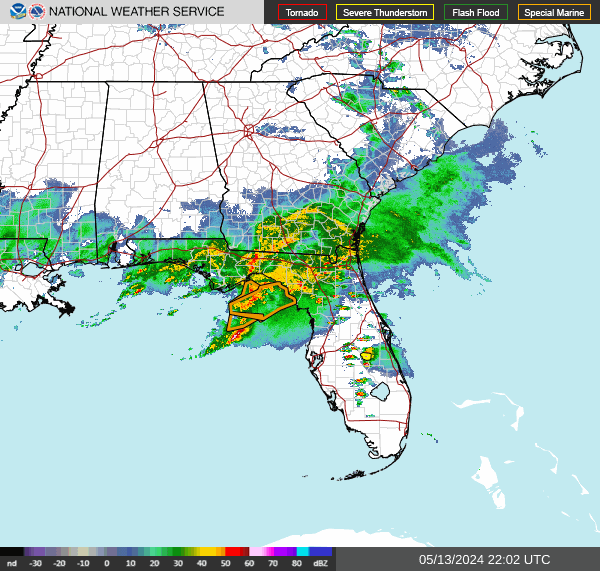
CONUS radar, loop
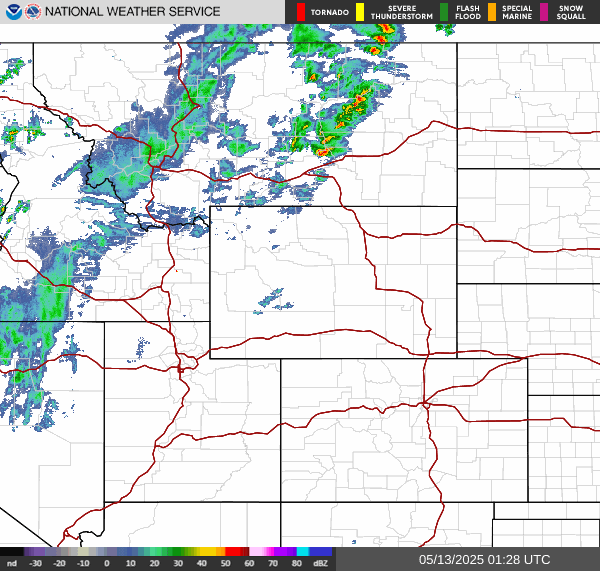
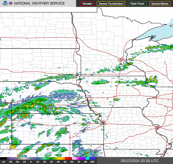
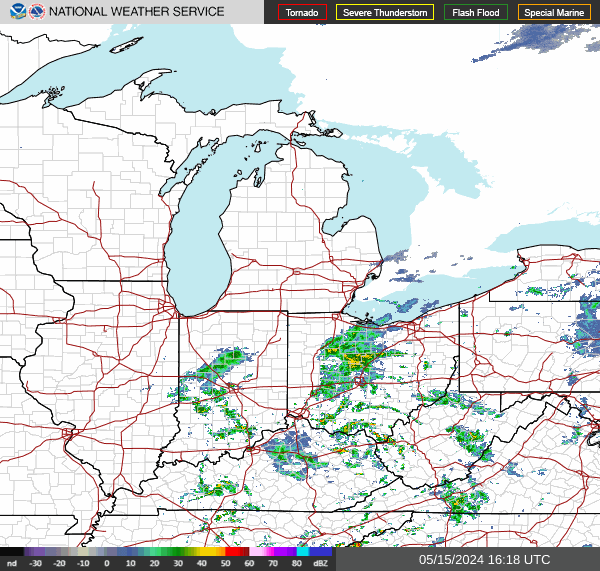
Go to the Pacific Northwest sector Go to the Northern Rockies sector Go to the Upper Mississippi Valley sector Currently at the Central Great Lakes sector Go to the Northeast sector
Go to the Pacific Southwest sector Go to the Southern Rockies sector Go to the Southern Plains sector Go to the Southern Mississippi Valley sector Go to the Southeast sector

Satellite NESDIS:
 Vis with icons Fancy and Plain and Clouds
 CONUS GeoColorIRSandwichFunkyCloudIRcolor

Reference
Morse
Abbrevs Latest, NOTAM(Old) and METAR/TAF; TAMU
Aircraft Type (latest) and Suffix
ASOS sites (text, local)

Aviation CONUS
US Vis
US IRbw
IS IRcol
US wv
Vis Loop
IRbw Loop
IRcol Loop
WV Loop

NOAA


Advisory Circulars:
Note: use these links at your own risk.
We don't know anything about the reliability of the data they point to.
Make sure to get an official weather briefing before any flight.